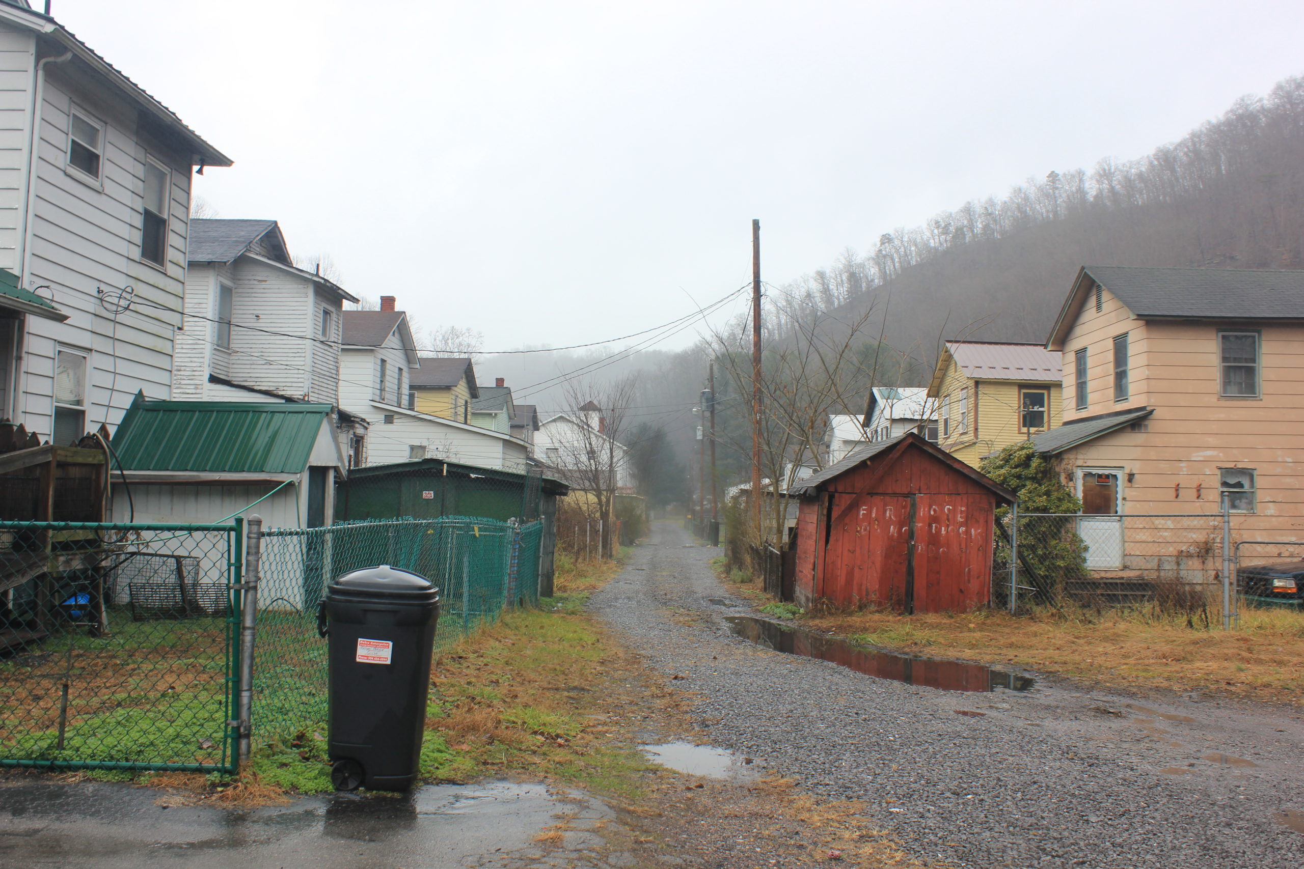
Alley, Berwind, WV
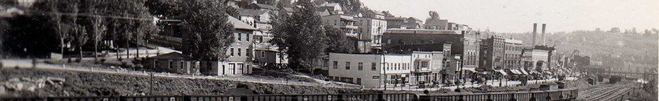
In 2016, Aurora Research Associates was contracted by the West Virginia Division of Highways (WVDOH) to conduct an update of the Coal Heritage Survey in southern West Virginia. The original Coal Heritage Survey was conducted in 1991 by the West Virginia Division of Culture and History and documented thousands of coal-related structures in seven counties. The WVDOH received a Transportation Enhancement Grant from the U.S. Department of Transportation to update a portion of the survey, which had become outdated in the 25+ years since it was originally conducted. In 2016, ARA’s team surveyed over 2,000 structures in McDowell County, seeking out previously-documented resources from the original survey as well as resources that had never been documented.
The draft survey documents were submitted to the WVDOH in 2018 and are provided here as informational resources to the public. The West Virginia State Historic Preservation Office has not reviewed these documents; they are in draft form.
Coal Heritage Survey Update Report Final
How to Locate a Specific Historic Property Inventory Form
Due to inconsistencies in street addresses, the easiest way to identify surveyed properties is by map. Use the link above to download the kmz mapping file. This file can be opened in Google Earth or other free mapping software. You can zoom in to your location to see if there are any survey points and click on the survey points to obtain basic information about the resource.
Individual draft Historic Property Inventory Forms can be downloaded from the following Google Drive link: McDowell County Coal Heritage Survey HPI Forms
Properties that were surveyed in the original 1991 Coal Heritage Survey but were found to be demolished in 2016 are listed in the following index: Coal Heritage Survey Demolished Properties
HPI forms are also indexed by town and survey number in the following documents. You can scroll through the entries to find the towns or addresses of interest and cross-reference the HPI survey numbers. Please note that properties that were surveyed in 1991 will have lower survey numbers than those newly surveyed in 2016. Properties within the same town are not necessarily listed together in a group in the index.
Algoma_to_Capels_HPI_Index_by_SurveyNo
Caretta_to_Filbert_HPI_Index_by_SurveyNo
Gary_to_Iaeger_Index_by_SurveyNo
Jenkinjones_to_McDowell_Index_by_SurveyNo
Northfork_to_Vivian_HPI_Index_by_SurveyNo
War_to_Yerba_Index_by_SurveyNo
Please contact [email protected] if you have trouble locating a particular property.
Recent Comments